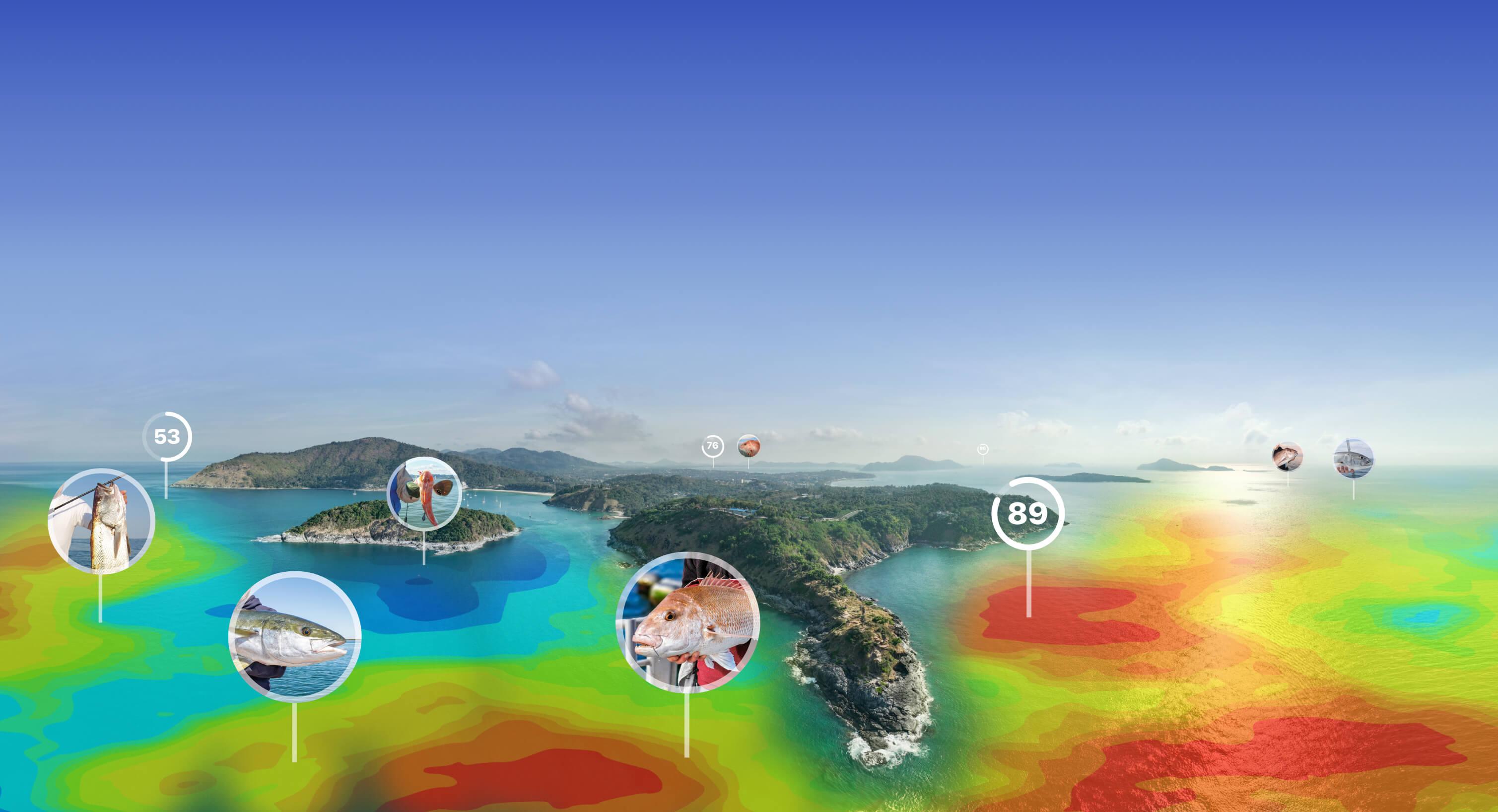
Get Data.
Fish Smarter.
The seamless integration of fishing and weather data for targeting fish.
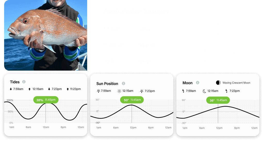
Find the best conditions to catch fish.
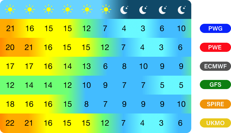
The most accurate 10 day forecast.
PredictFish is built on the world’s 6 most accurate weather models from PredictWind.
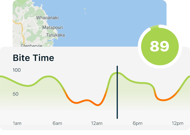
BiteTime score for your local spot.
We’ve combined the sun, moon and tide data at the location of your choice – to give you an easy to understand fishing rating out of 100 , every hour, over the next 5 days.
Track your catch with two taps.
Log books are perhaps the most valuable way to improve your fishing - however traditional log books are confusing and take ages to fill out. Not any more. Now you can save your catch and store world-class weather and marine data with just two taps.
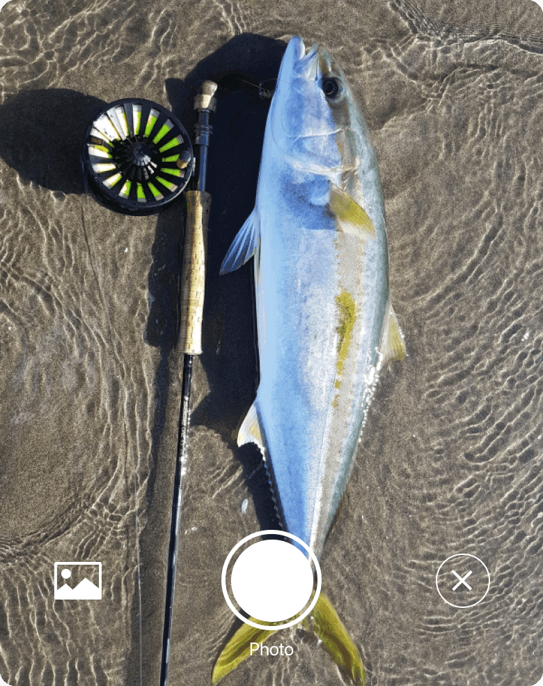
Take a photo
Open the app - use the in-app camera and snap a photo of your fish.
Confirm & Save
Our Fish Recognition will automatically identify the species, then just scroll to add weight and length and tap to save. It’s that easy.
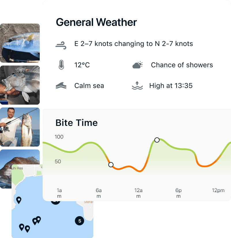
Data we save with each catch.
Automatically recognise fish species.
General weather data, including wind speed and direction, temperature, cloud cover, sea conditions, tide conditions.
Professional marine data including Sea Surface Temperature, Chlorophyll density and Sea Surface Height.
Sun Position, Moon Position, Tide Position.
Fish smarter next time.
Had a great day on the water? Now you can understand why. View the whole days fishing in your log book. See when fish were biting and figure out why so you can fish smarter next time.
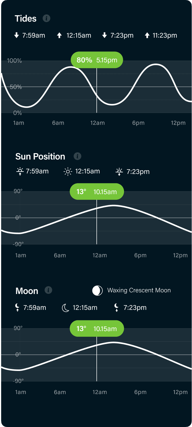
Learn from your results.
Dive deep into your most successfull catches to find what condtions work the best. Match the conditions to replicate the results.
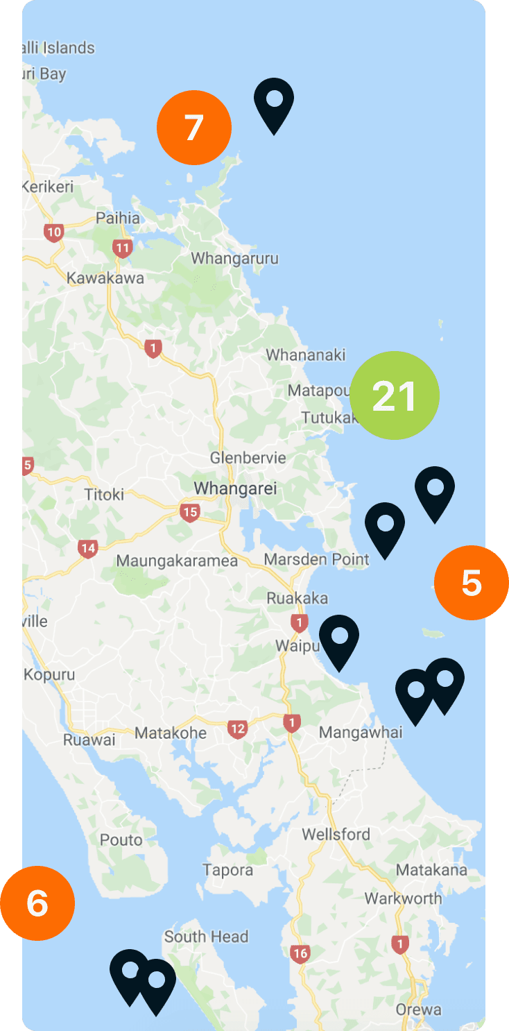
See all catches by location.
View all your catches on the logbook map to find your most successfull spots. Find trends to get the best results.
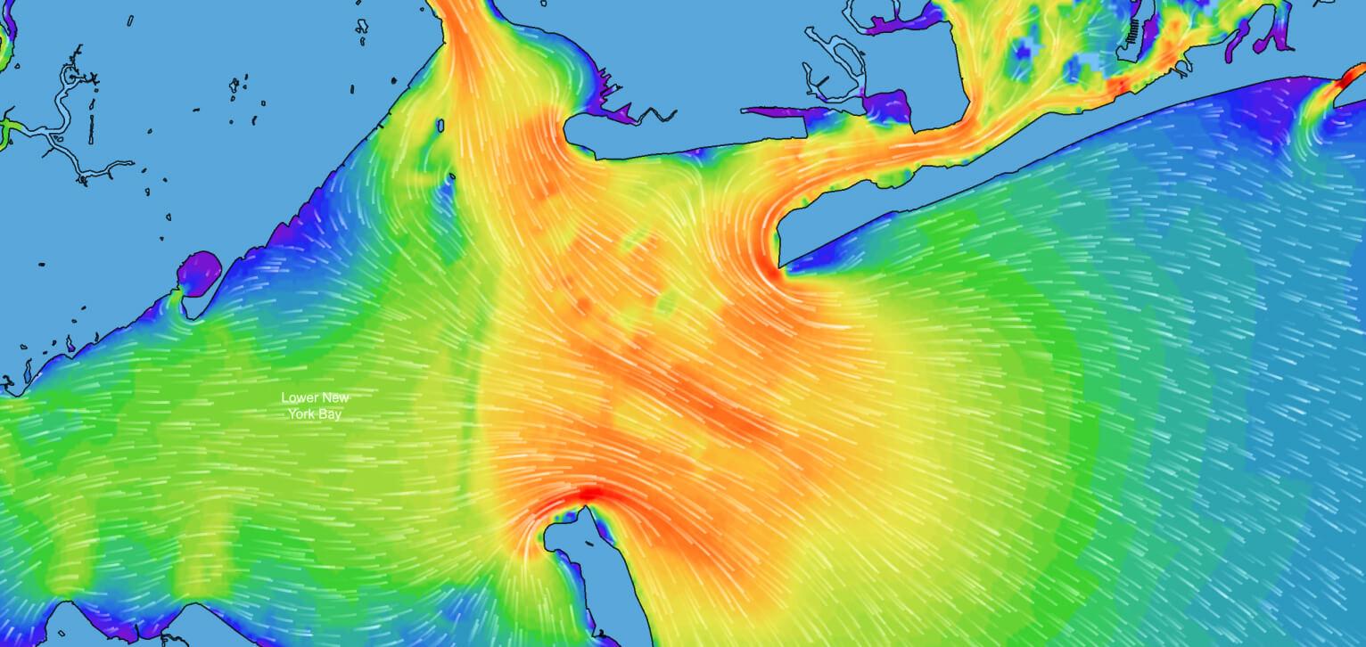
X-ray the ocean.
View hi-res tidal currents with incredible detail down to 100m resolution. Tidal flow triggers many fish to begin feeding, making predatory fish more active and increasing their availability to fishermen.
Ready to fish smarter?
Pricing
*Each plan includes PredictWind subscription at the same level as selected below.
Free
For trying it out
Bite Time
AI Fish Recognition
Logbook - 3 Month History
Weather Forecasts
Local Knowledge
Basic
For local inshore fishing
Bite Map
Logbook - Unlimited History
Advanced Weather Forecasts
Observations & Webcams
+ everything in Free
Standard
For hunting bigger fish
Ocean Current
Tidal Current
Sea Surface Temp
Weather Routing - Basic
Departure Planning - Basic
+ everything in Basic
Professional
For hunting big fish offshore
Chlorophyll
Salinity
Sea Surface Height
Ocean Fronts
Weather Routing - Advanced
Departure Planning - Advanced
+ everything in Standard
Features
Worldwide wind and marine data modelled by our team of meteorologists and oceanographers with over 30 years of experience.
Overlay detailed maps to get the full picture
The same information professional fishermen use to hunt fish offshore, in your pocket.
Overlay layers of detailed maps on our intuitive Offshore Fishing tool to fully understand what’s happening in the ocean and make the best decisions both planning and while out on the water.
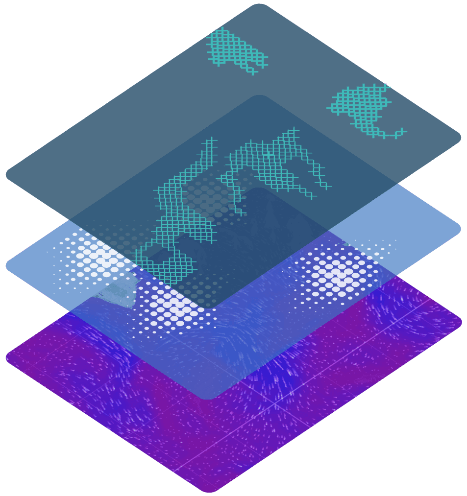
Layers and layers of data to choose from:

Sea Surface Temperature
Maps showing the temperature of the seas surface. Hunt temperature breaks for big fish.

Ocean and Tidal Currents
Like the roads of the ocean, these currents dictate the locations of bait and pelagic fish.

Chlorophyll
The beginning of the fishing ecosystem, phytoplankton absorb sunlight, create chlorophyll & become fish food.

Salinity
Salinty is the amount of salt in the water. Some fish like it salty, some don’t. Good for targeting specific species.

Sea Surface Height
SSH is the physical height of the water. These are called up and down wellings and effect ocean currents.

Wind
Wind plays a large role in affecting the sea state. Wind against tide causes uncomfortable and often dangerous wave conditions.